S2L2A Enhancement using S3SLTR F2 For Wildfire Detection
//VERSION=3
//Author: Benjamin Kuo
// S2L2A Enhancement using S3SLSTR F2
// This script uses a combination of two different satellites -- S2L2A and S3SLTR -- to better highlight areas burning due to wildfires. The way this script works is it adjusts the brightness of the S2L2A, true color image using a scaled value of the S3SLSTR F2 value, which increases the brightness of areas that are burning, and decreases the value of areas which are not burning.

function setup() {
  return {
    input: [
      {datasource: "S3SLSTR", bands:["F1","F2","S7"]},
      {datasource: "S2L2A", bands:["B12", "B8A", "B04","dataMask"]}],
    output: [
      {id: "default", bands: 3, sampleType: SampleType.AUTO}
    ]
  }
}


function evaluatePixel(samples) {
  var s1 = samples.S3SLSTR[0]
  var s2 = samples.S2L2A[0]
  let val = 320/s1.F2;


  let val2 = [s2.B12*val, s2.B8A*val, s2.B04*val,samples.dataMask];
  return val2;

}Evaluate and visualize
Data collections
- Sentinel-2 L2A
- Sentinel-3 SLSTR
General description of the script
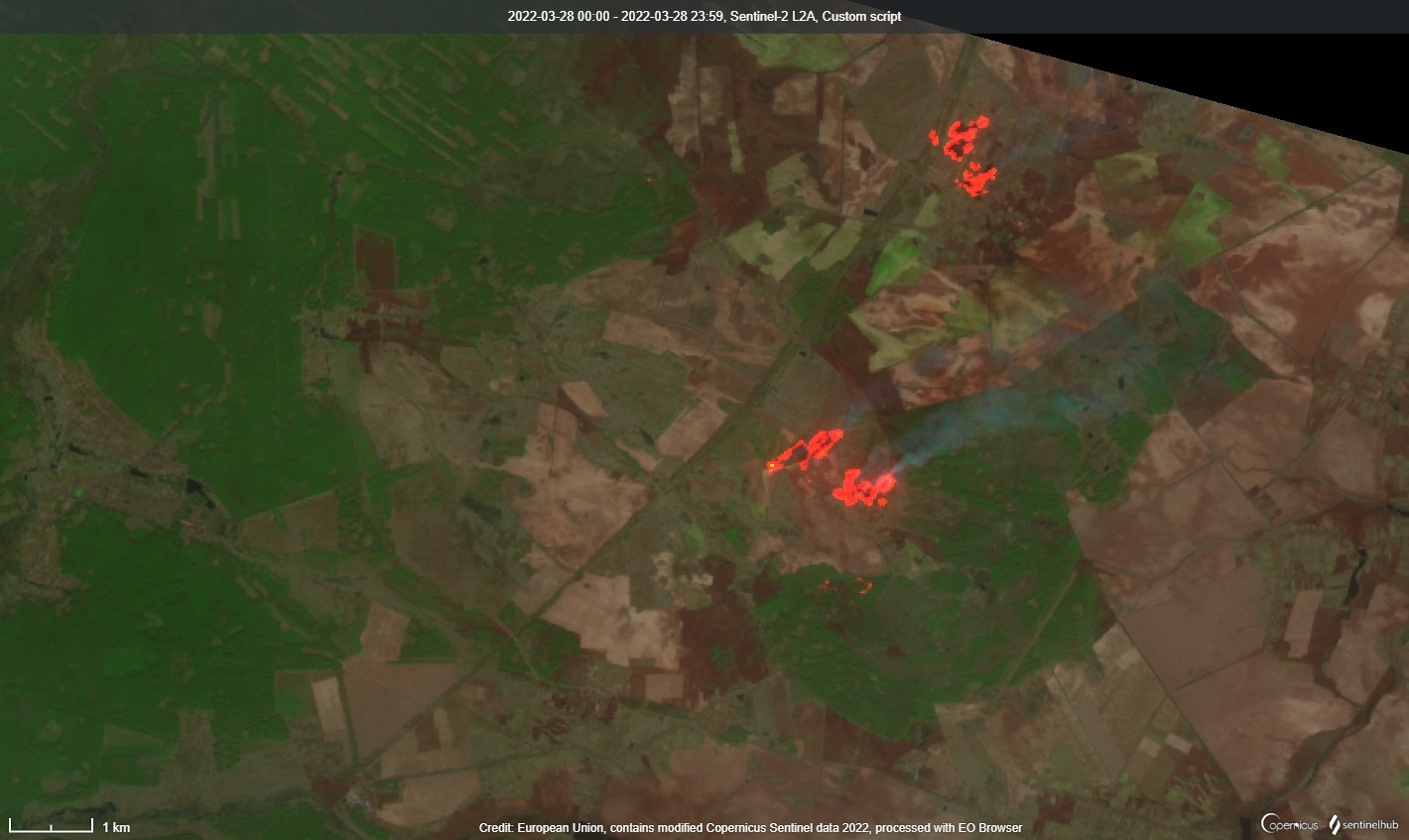
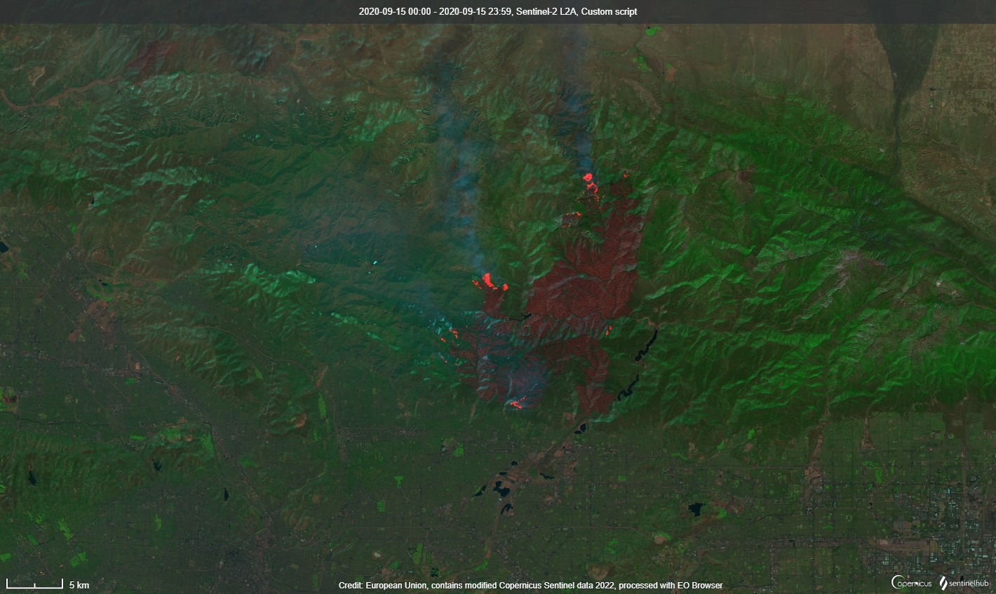
This script uses a combination of two different satellites – S2L2A and S3SLTR – to better highlight areas burning due to wildfires. The script adjusts the brightness of the S2L2A true color composite by using scaled values of the S3SLSTR F2 band, which increases the brightness of burning areas and decreases the values of areas which are not burning.
Limitations
This script has only been tested against a small number of California wildfires, plus wildfires/warfare zones in Ukraine. It’s unproven and untested against a larger sample set.
Description of representative images
Irpin, Ukraine (March 2022)
Bobcat Fire, Los Angeles, CA (September 2020)
Author of the script:
- Benjamin Kuo