Sentinel-5P Cloud Optical Thickness
//VERSION=3
const band = "CLOUD_OPTICAL_THICKNESS";
var minVal = 0.0;
var maxVal = 250.0;

function setup() {
  return {
    input: [band, "dataMask"],
    output: {
      bands: 4,
    },
  };
}

var viz = ColorRampVisualizer.createBlueRed(minVal, maxVal);

function evaluatePixel(samples) {
  let ret = viz.process(samples[band]);
  ret.push(samples.dataMask);
  return ret;
}Evaluate and Visualize
Description
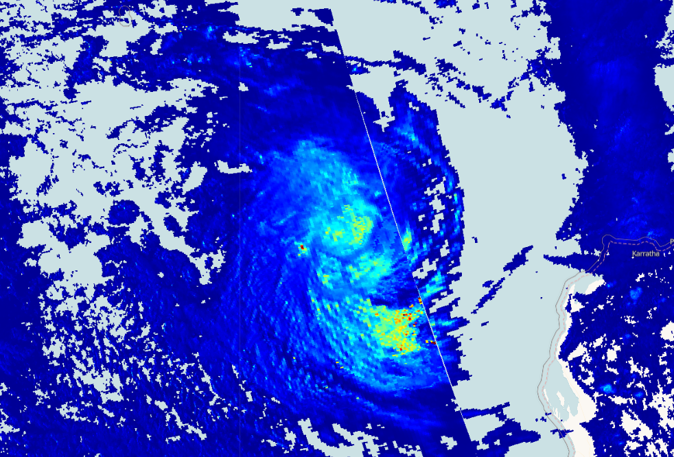
This script visualizes Sentinel 5P cloud optical thickness product. The cloud thickness is a key parameter to characterise optical properties of clouds. It is a measure of how much sunlight passes through the cloud to reach Earth’s surface. The higher a cloud’s optical thickness, the more sunlight the cloud is scattering and reflecting. Dark blue shows where there are low cloud optical thickness values and red shows larger cloud optical thickness.
Description of representative images
Optical thickness of the Pacific Ocean hurricane, 2020-01-15.