CLMS HR-S&I: Sentinel-1 River and Lake Ice Extent visualisation script
//VERSION=3
function setup() {
  return {
    input: ["RLIE", "dataMask"],
    output: {
      bands: 4,
      sampleType: "Auto"
    }
  };

}

const map = [
  [1, 0x0000FE],  //1 - Open water
  [100, 0x00E8FF],  //100 - Snow-covered or snow-free ice
  [255, 0xFFFFFF]  //255 - No data
];

const visualizer = new ColorMapVisualizer(map);

function evaluatePixel(sample) {
  let rgbVis = visualizer.process(sample.RLIE);
  return rgbVis.concat(sample.dataMask);
}General description of the script
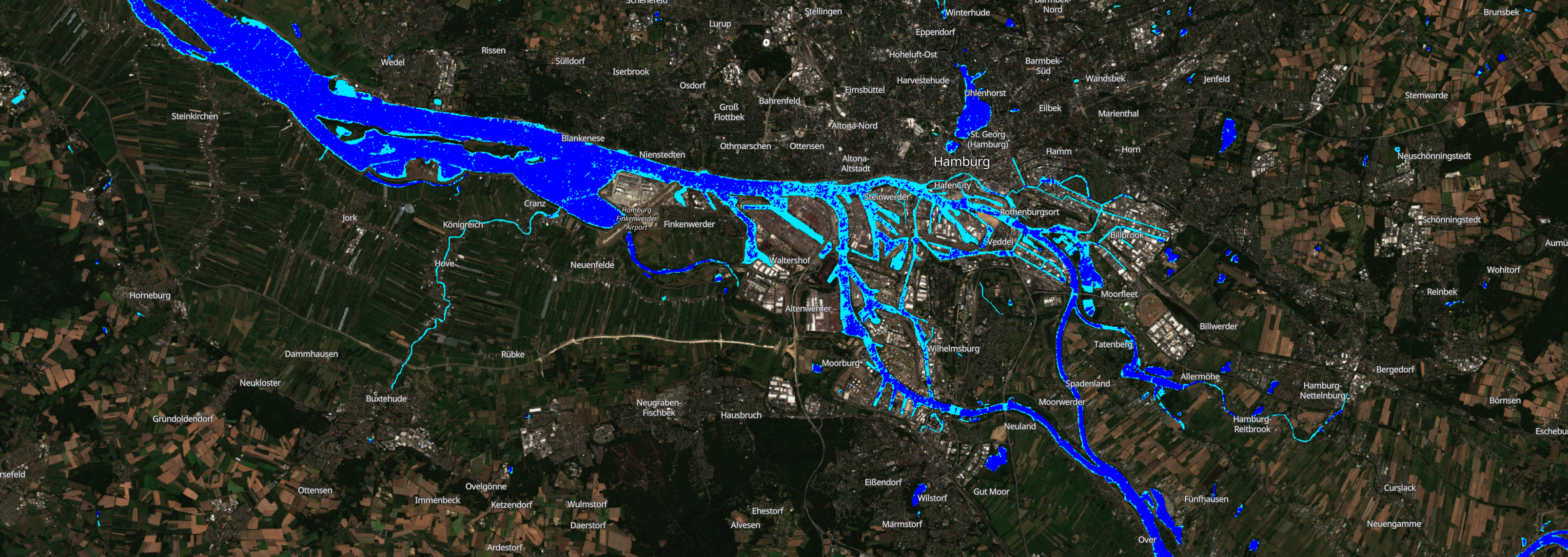
This script visualises the River and Lake Ice Extent based on synthetic aperture radar data from the S1 constellation. The product is generated for the entire EEA38+UK zone.
Table 1: Classification classes and colouring scheme.
| Value | Color | Label |
|---|---|---|
| 1 | open water | |
| 100 | snow-covered or snow-free ice | |
| 255 | no data |
Description of representative images
20th September 2022, Hamburg, DE