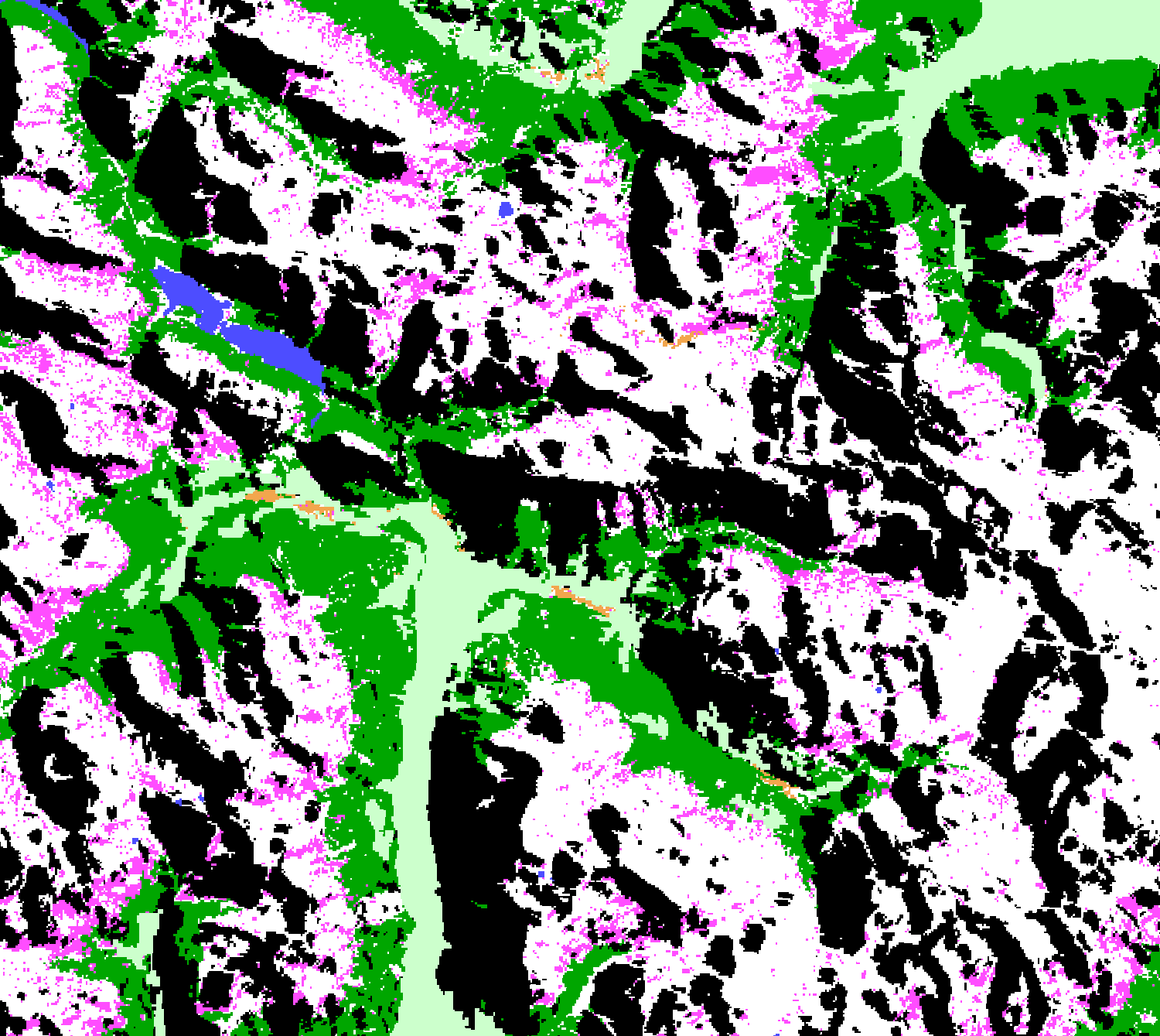
CLMS HR-S&I: SAR Wet Snow in high mountains - Wet Snow classification in high Mountains areas visualisation script
//VERSION=3

function setup() {
  return {
    input: ["WSM", "dataMask"],
    output: { bands: 4, sampleType: "AUTO" },
  };
}
const map = [
  [110, 0xff4dff], //110 - Wet Snow
  [125, 0xffffff], //115 - Dry Snow or Snow free or patchy snow
  [200, 0x000000], //200 - Radar Shadow
  [210, 0x4d4dff], //210 - Water
  [220, 0x00a600], //220 - Forest
  [230, 0xf2a64d], //230 - Urban Areas
  [240, 0xccffcc], //240 - Non-mountain areas
  [255, 0xff0000], //255 - NODATA
];

const visualizer = new ColorMapVisualizer(map);

function evaluatePixel(sample) {
  let rgbVis = visualizer.process(sample.WSM);
  return rgbVis.concat(sample.dataMask);
}General description of the script
This script visualises SAR Wet Snow in high mountains - Wet Snow classification in high Mountains areas (SWS WSM).
Table 1: Classification classes and colouring scheme.
| Value | Color | Label |
|---|---|---|
| 1 | 110 - Wet snow | |
| 2 | 125 - Dry snow or snow free or patchy snow | |
| 3 | 200 - Radar shadow / layover / foreshortening | |
| 4 | 210 - Water | |
| 5 | 220 - Forest | |
| 6 | 230 - Urban area | |
| 7 | 240 - Non-mountain areas | |
| 8 | 255 - No data |
Description of representative images
16th March 2021, Bormio, IT