CNES land cover classifier confidence visualisation script
//VERSION=3

// This script visualise the confidence of classifier

// Set up input and output settings
function setup() {
    return {
      input: [{
        bands: [
          "OCS_Confidence"
        ]
      }],
      output: {
        bands: 4
      }
    }
  }

  // Create color map
  const ramps = [
    [1, 0x000000],
    [100, 0x00c800 ],
  ];

  // Create visualiser
  const visualizer = new ColorRampVisualizer(ramps);


  //EvaluatePixel function
  function evaluatePixel(samples) {
    let val = samples.OCS_Confidence;
    let rgb_triplet = visualizer.process(val);
    if (val == 0 || val > 100) {
        rgb_triplet.push(0) // Masked data out of range
    } else {
        rgb_triplet.push(1) // Display visualiser for data within a valid range of confidence
    }
    return rgb_triplet;
}General description of the script
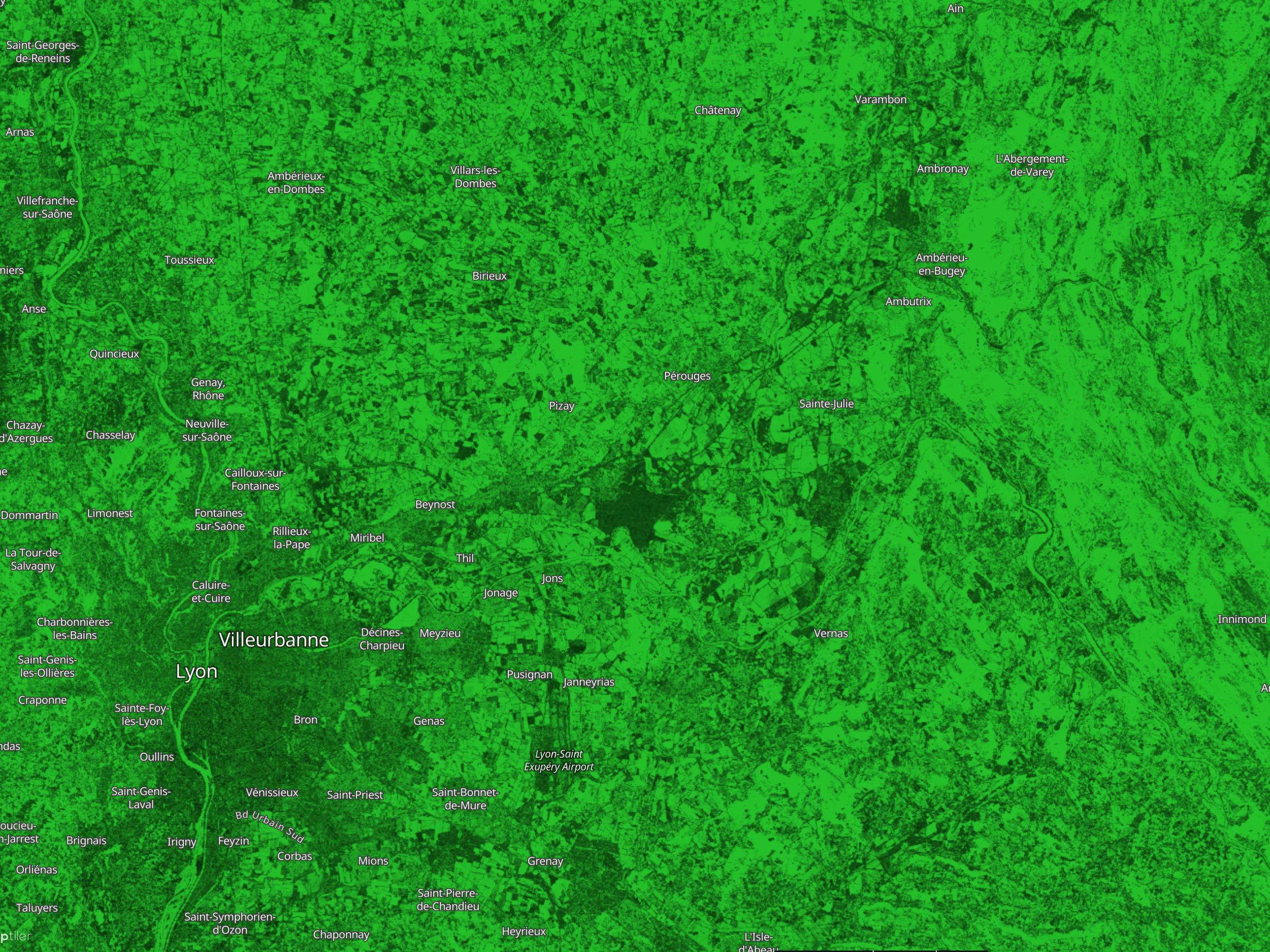
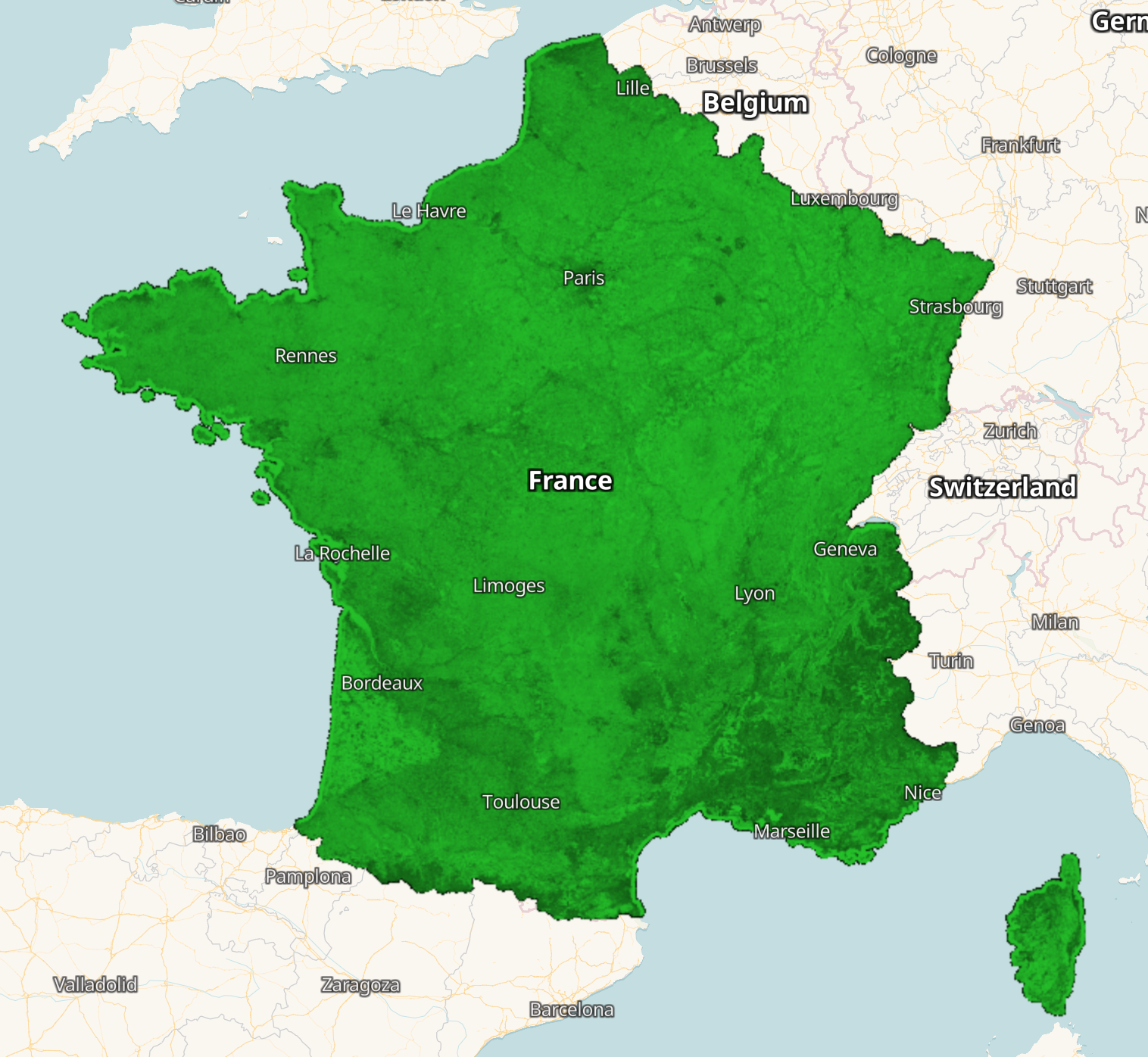
The script visualises the information on the classifier confidence with values ranging from 1 to 100.
Table 1: Color legend for CNES land cover classifier confidence
| Value | Color | Color Code | Label |
|---|---|---|---|
| 1 | #000000 | 1% confidence | |
| 100 | #00c800 | 100% confidence |
Description of representative images
The overview of CNES Land Cover classifier confidence 2020 for France visualised in EO Browser
CNES Land Cover classifier confidence 2020 around Lyon visualised in EO Browser