Green City Script
/*
Author of the script: Carlos Bentes
*/

// Normalized Difference Vegetation Index
var ndvi = (B08-B04)/(B08+B04);

// Threshold for vegetation
var veg_th = 0.4;

// Simple RGB
var R = 2.5*B04;
var G = 2.5*B03;
var B = 2.5*B02;

// Transform to Black and White
var Y = 0.2*R + 0.7*G + 0.1*B;
var pixel = [Y, Y, Y];

// Change vegetation color
if(ndvi >= veg_th)
  pixel = [0.1*Y, 1.8*Y, 0.1*Y];

return pixel;Evaluate and Visualize
General description of the script
Uses NDVI [1] to color Sentinel-2 images and create awareness of green areas in cities around the World.
Author of the script
Carlos Bentes
Description of representative images
Visualization of Tallinn with the Green City script. 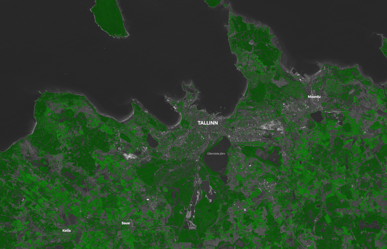
Visualization of Paris with the Green City script. 
Visualization of Beijing with the Green City script. 
References
[1] Normalized difference vegetation index: https://en.wikipedia.org/wiki/Normalized_difference_vegetation_index
Credits
Y. Zha, J. Gao & S. Ni (2003) Use of normalized difference built-up index in automatically mapping urban areas from TM imagery, International Journal of Remote Sensing, 24:3, 583-594, DOI: 10.1080/01431160304987